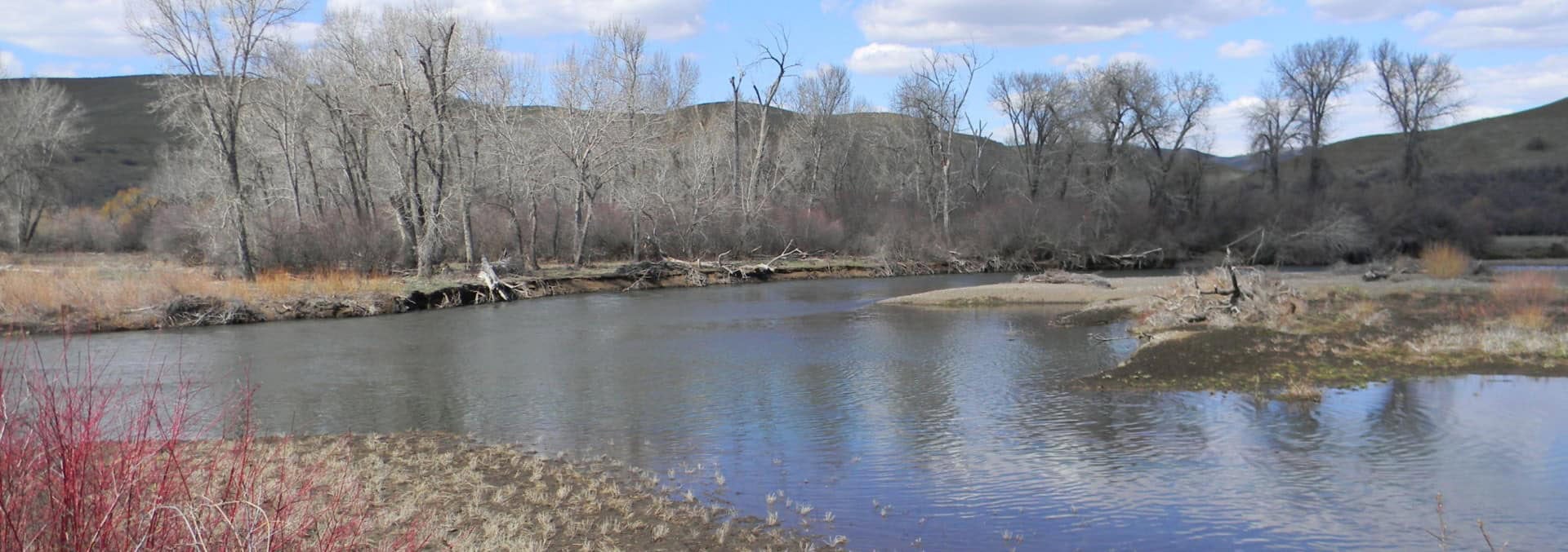
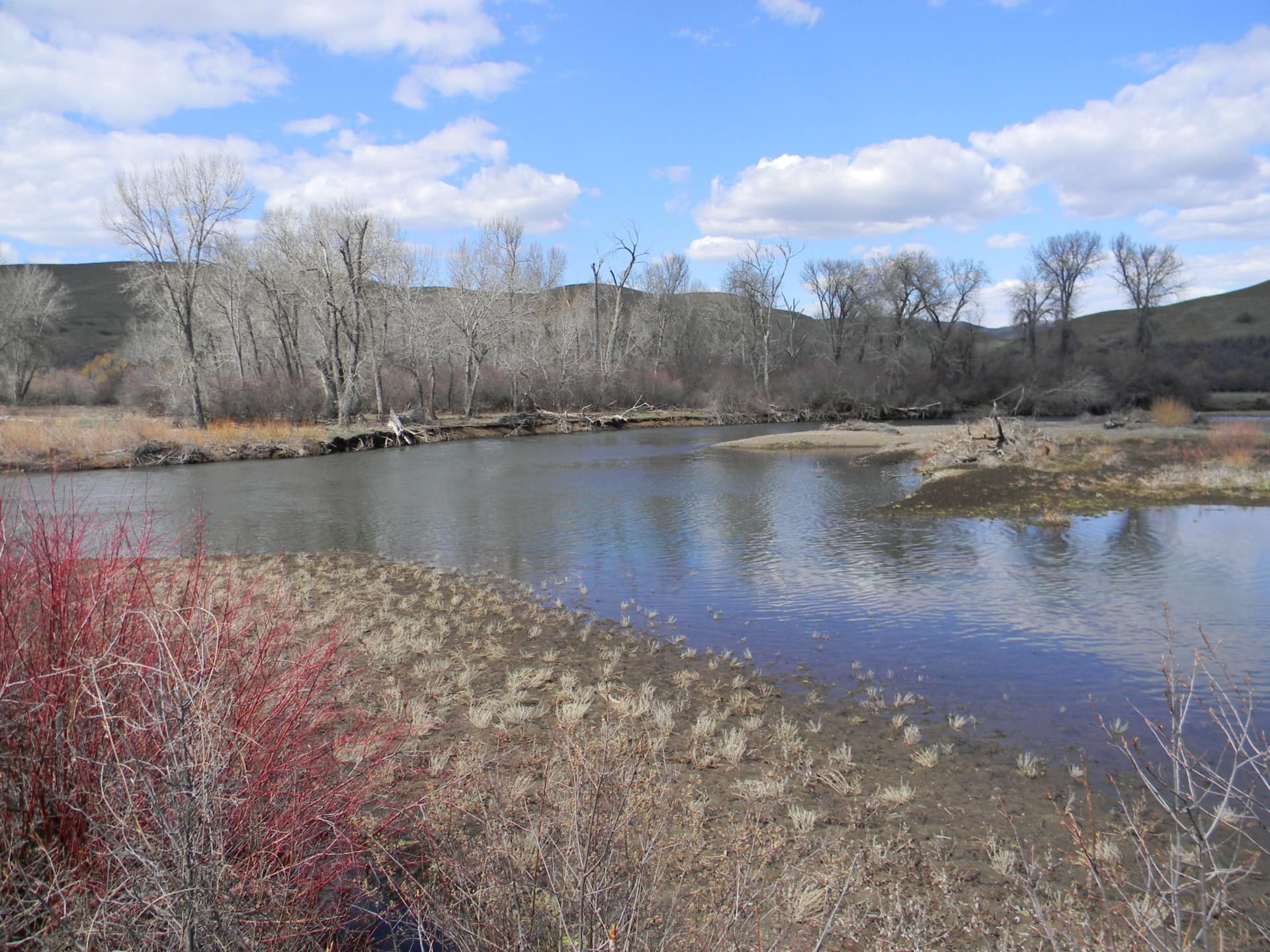
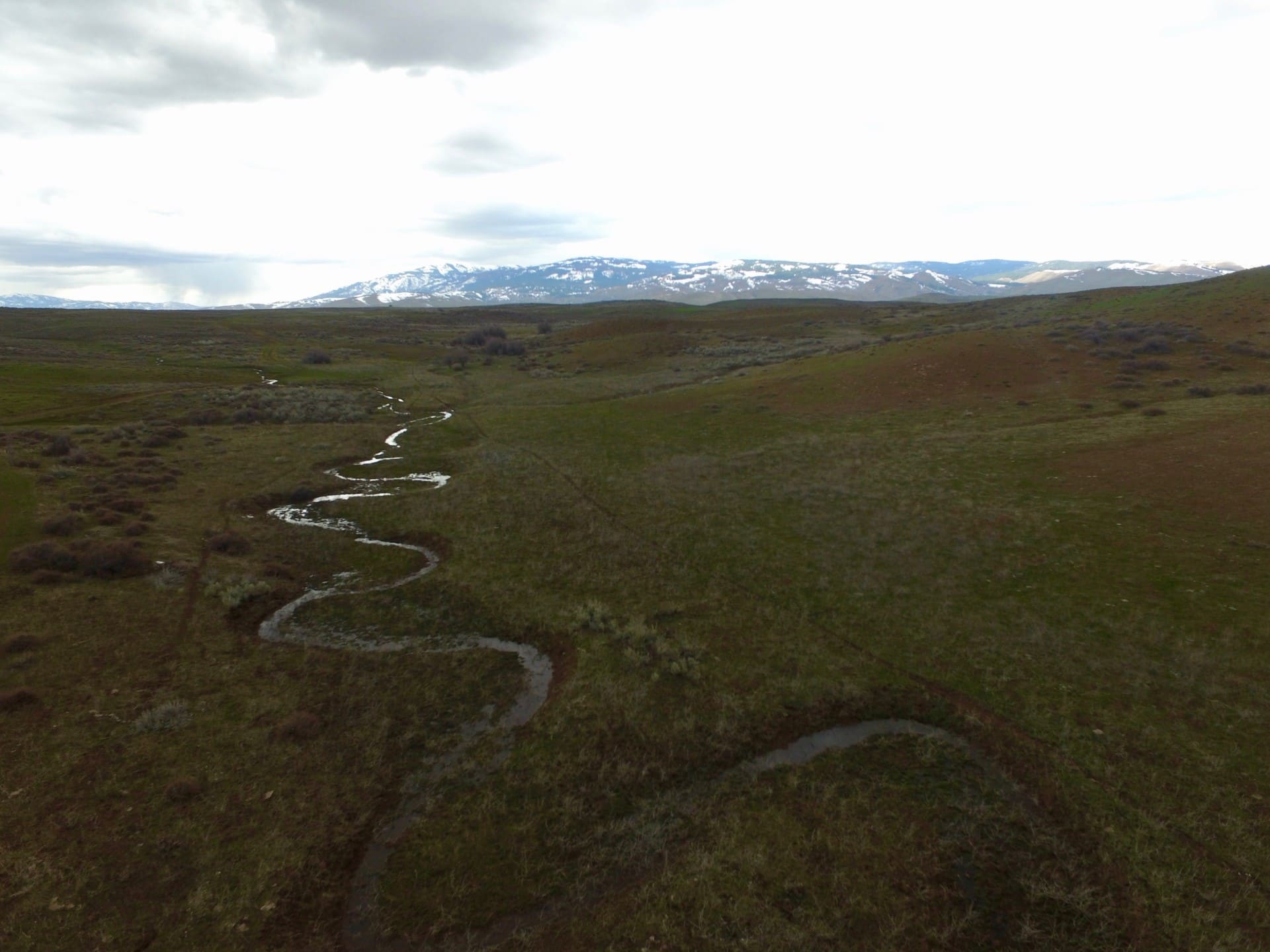
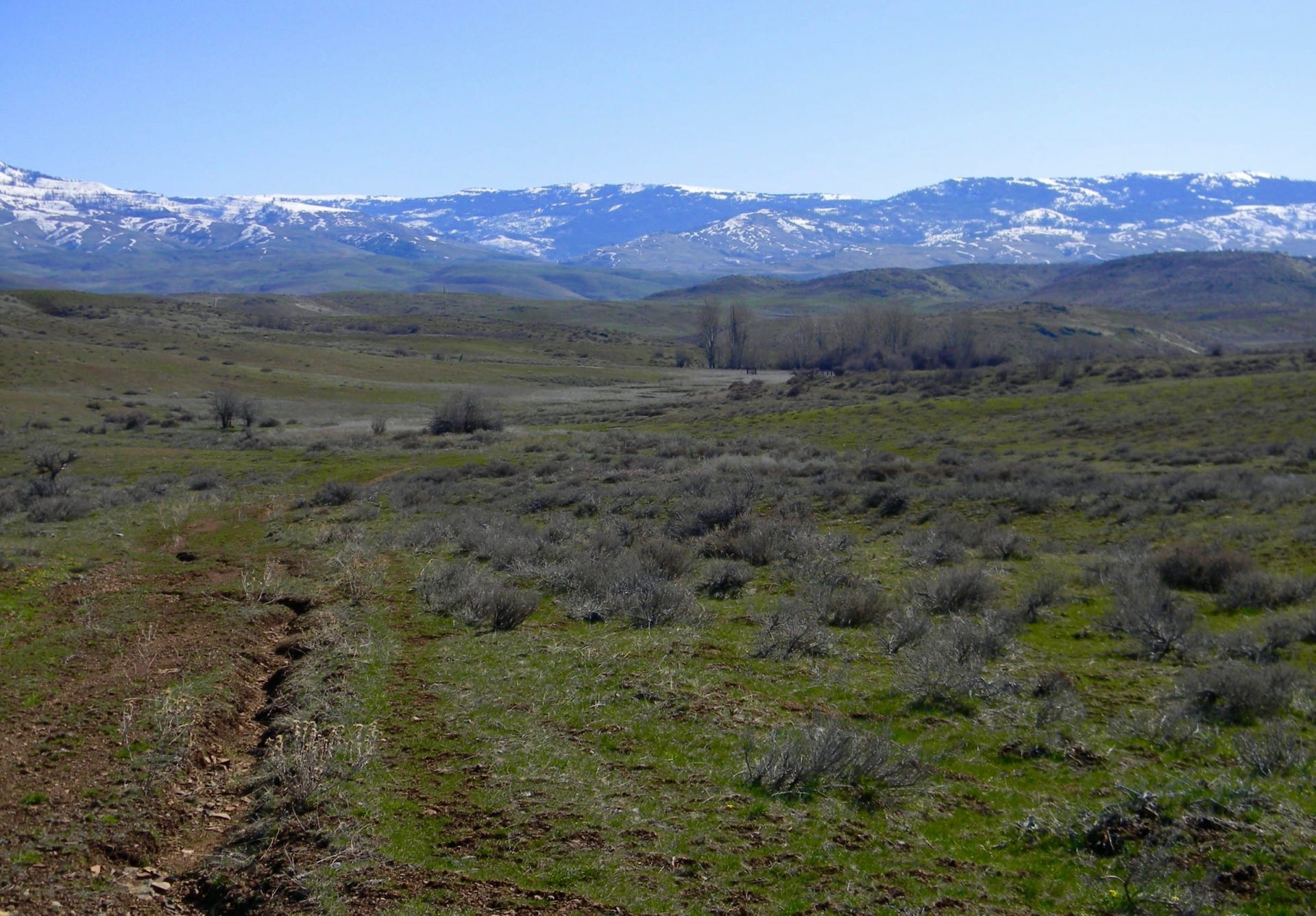
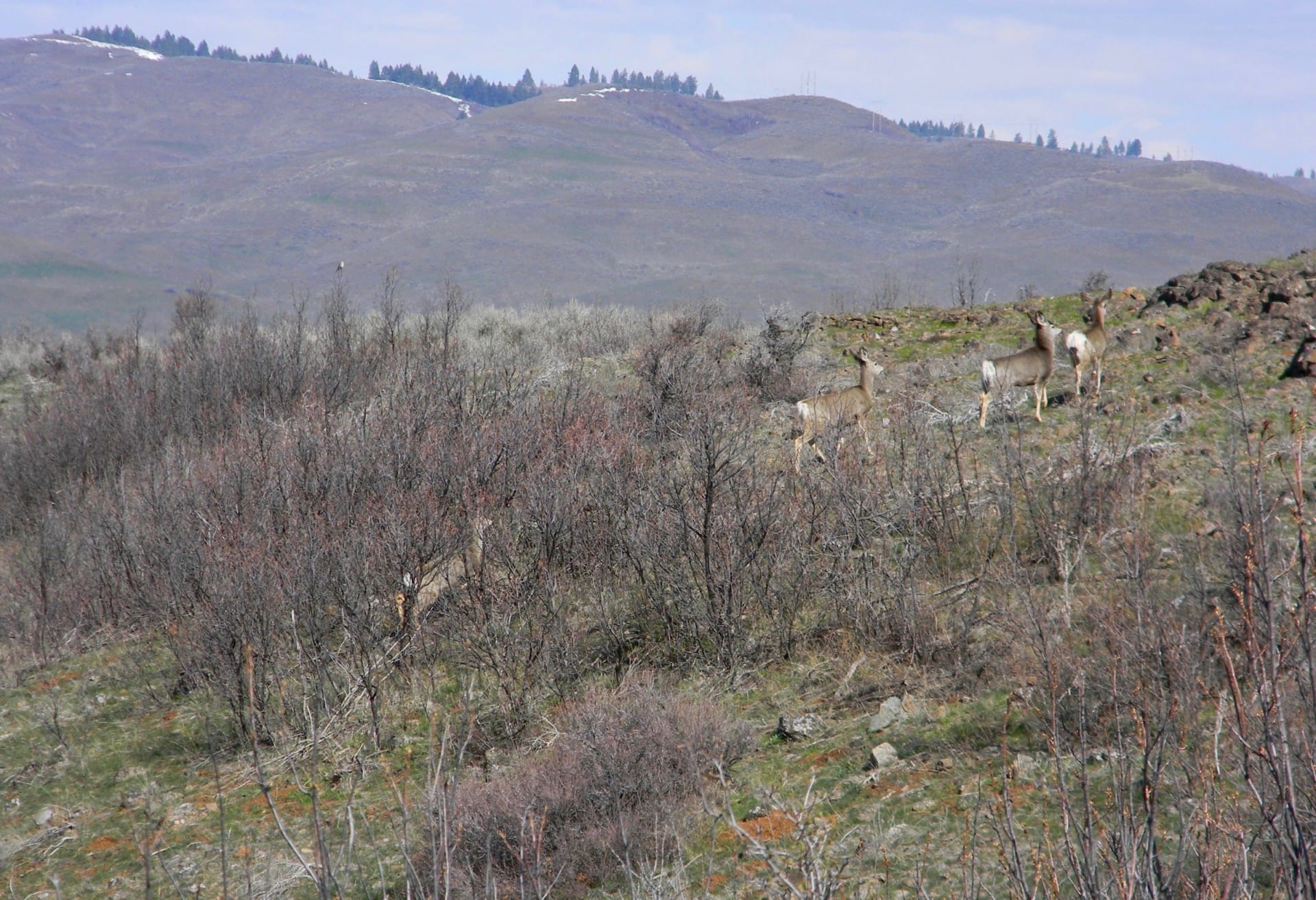
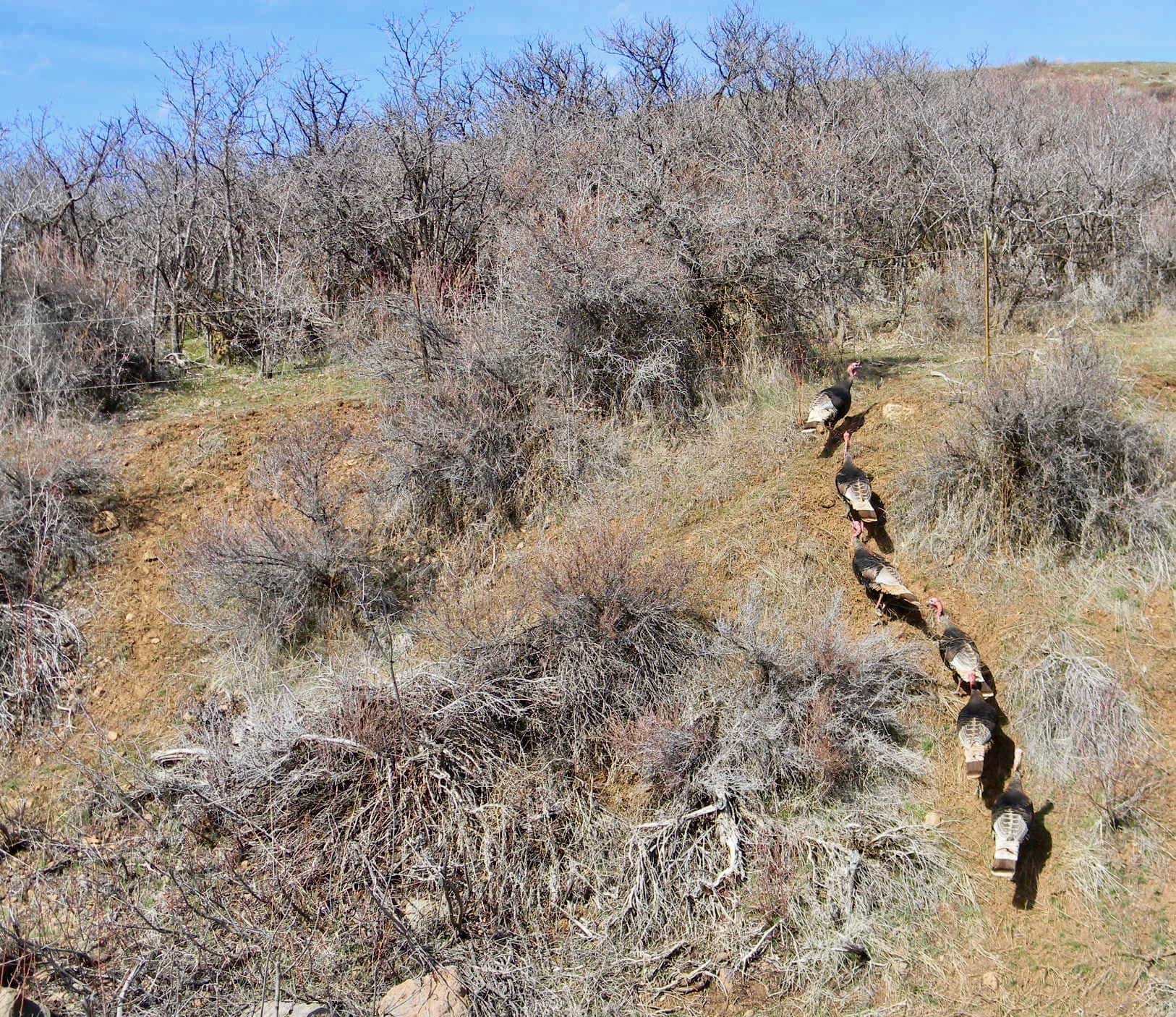
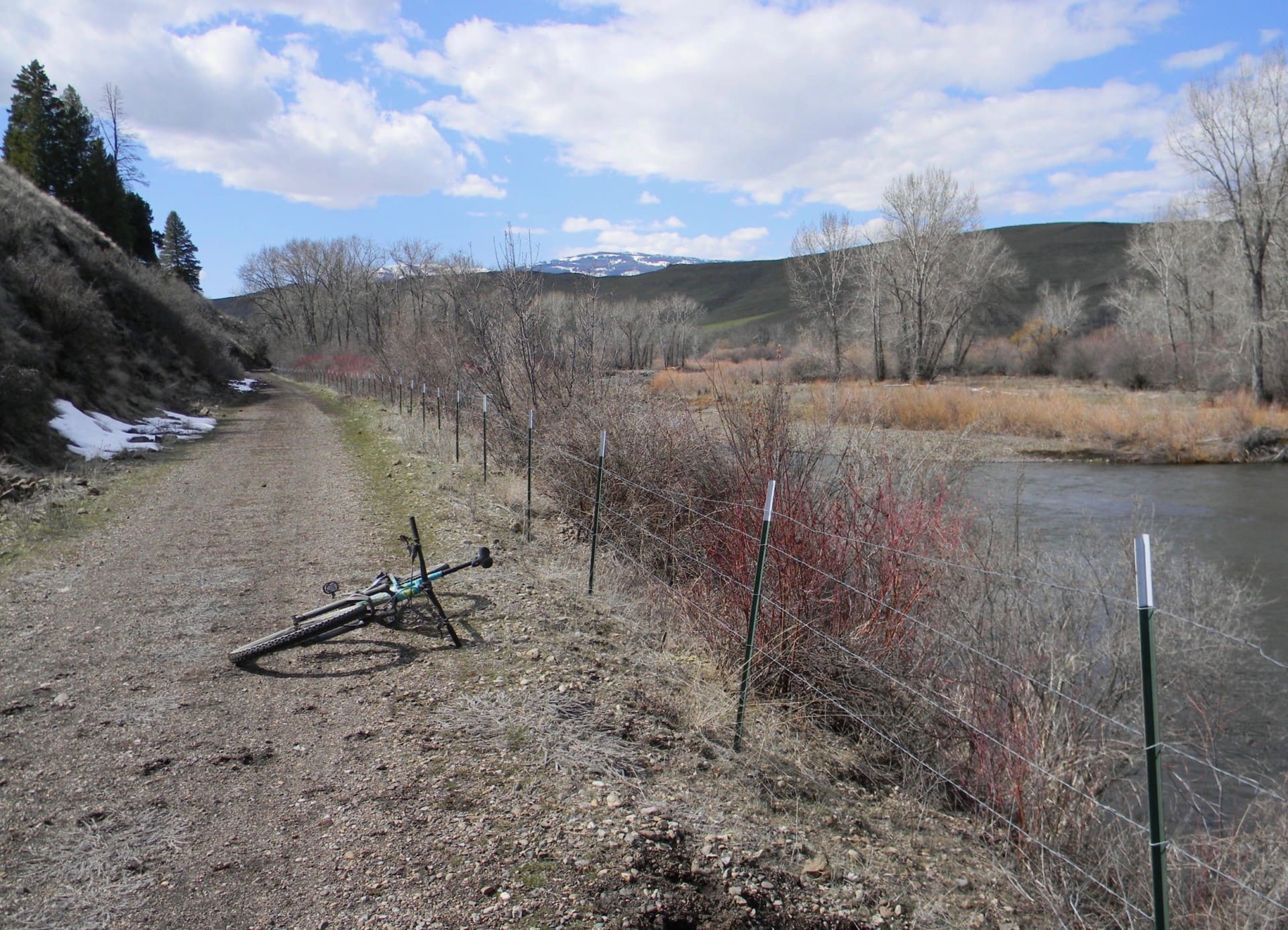
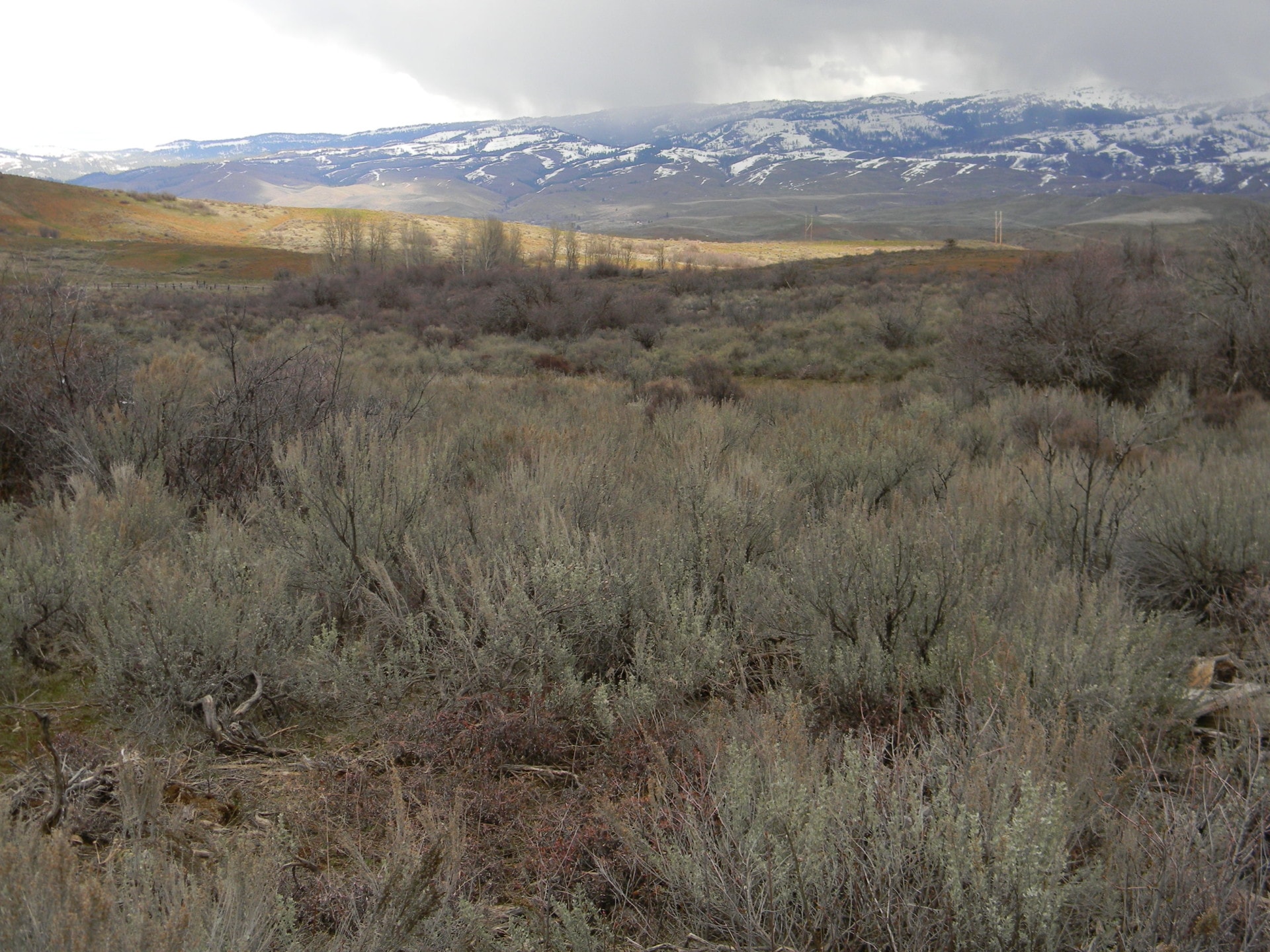
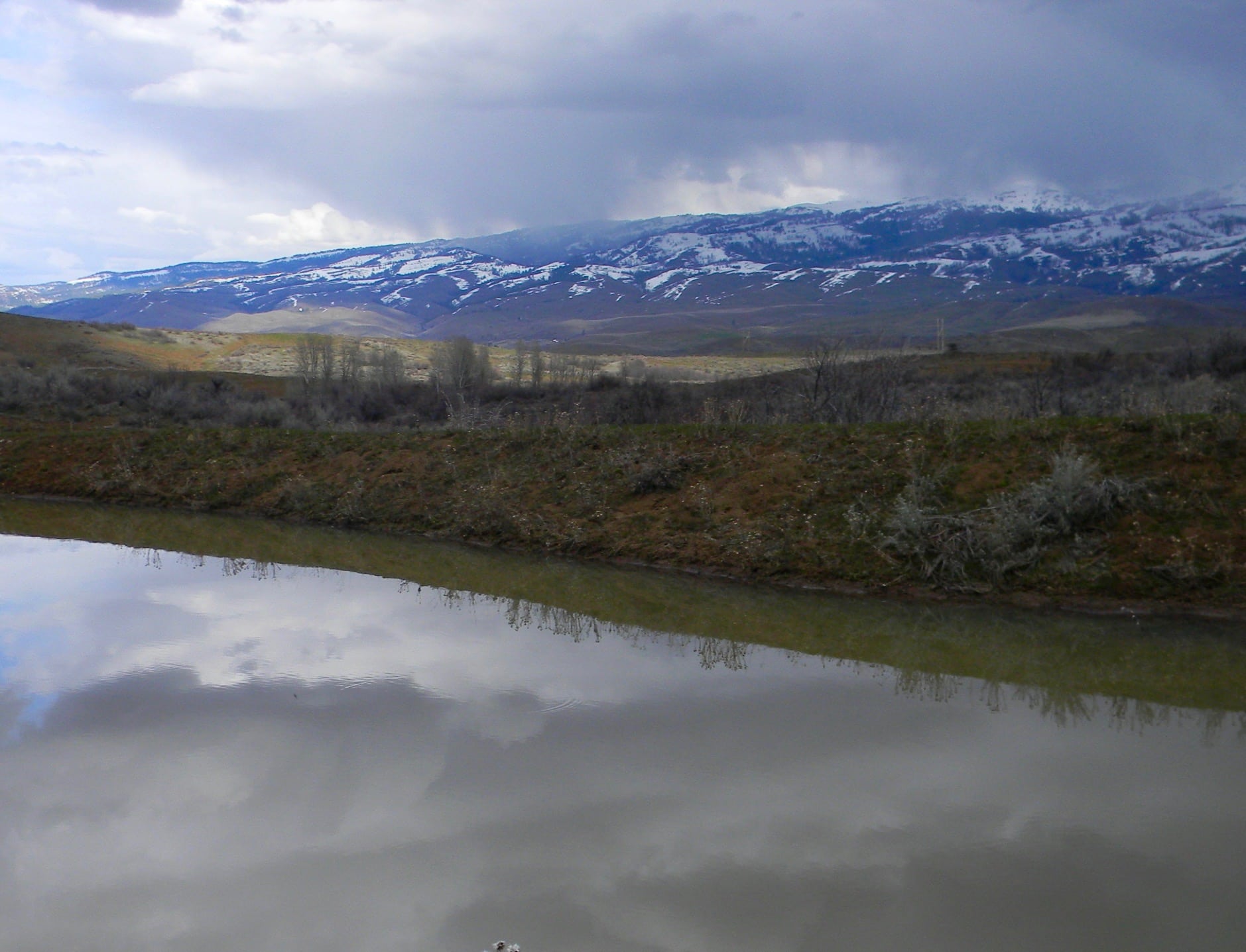
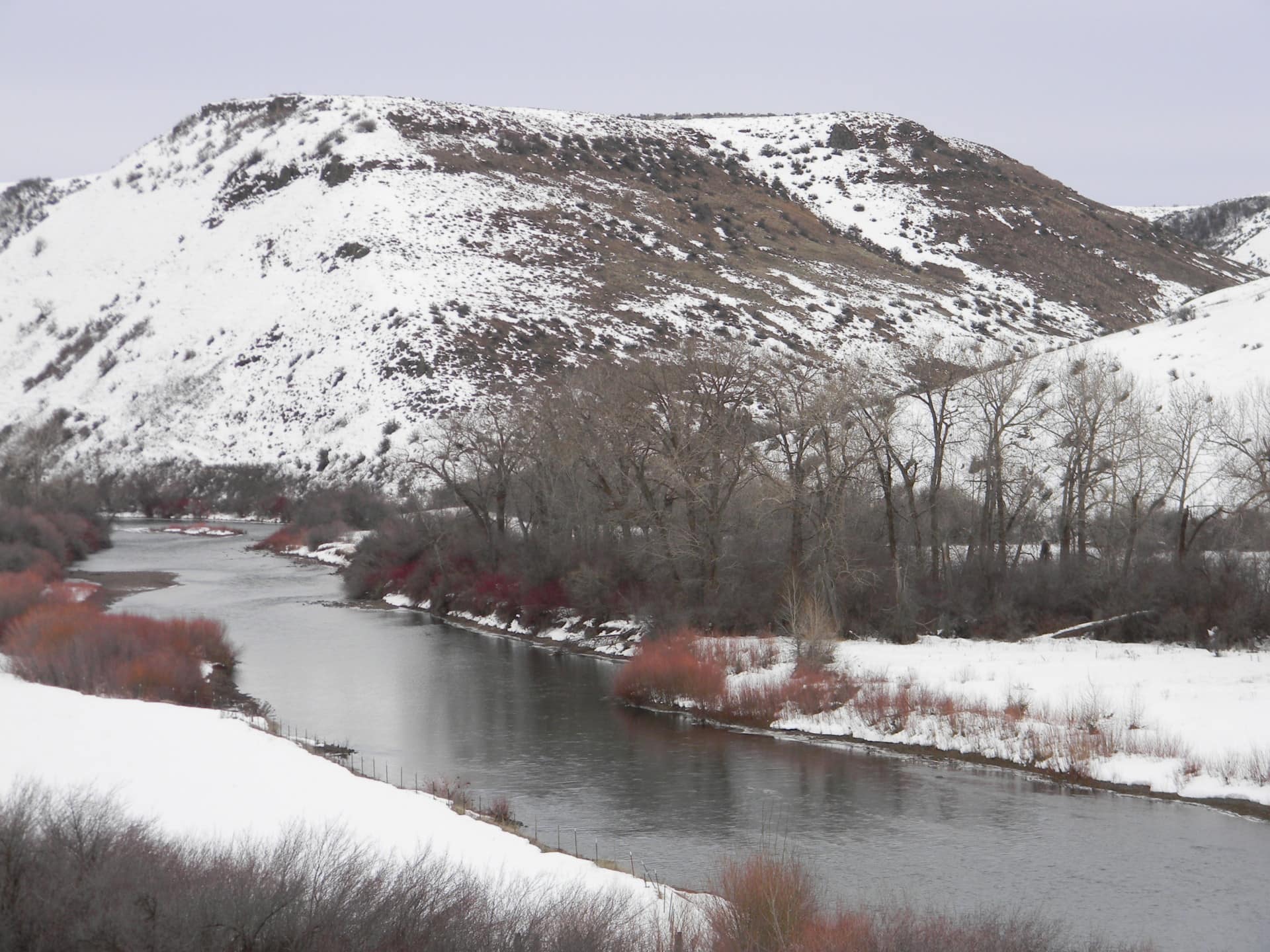
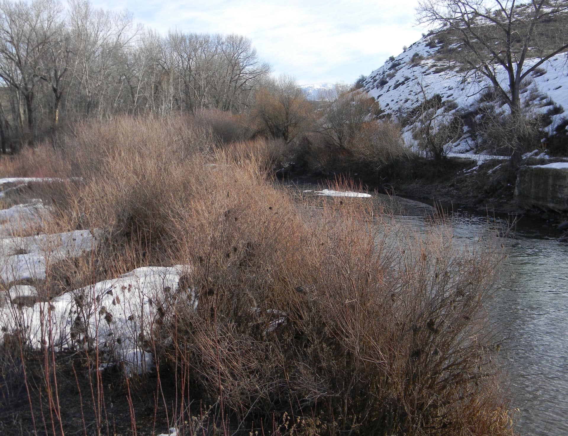
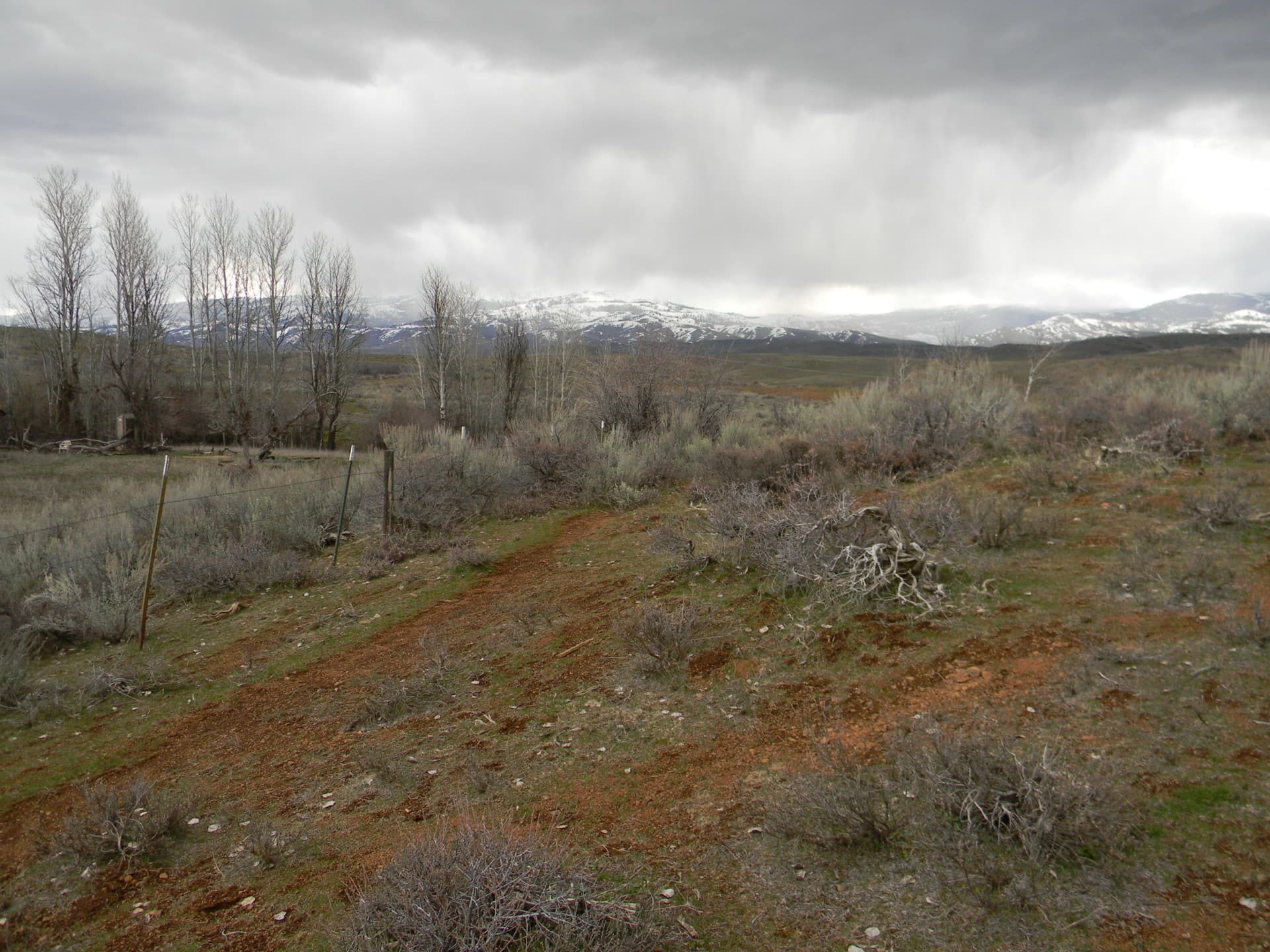
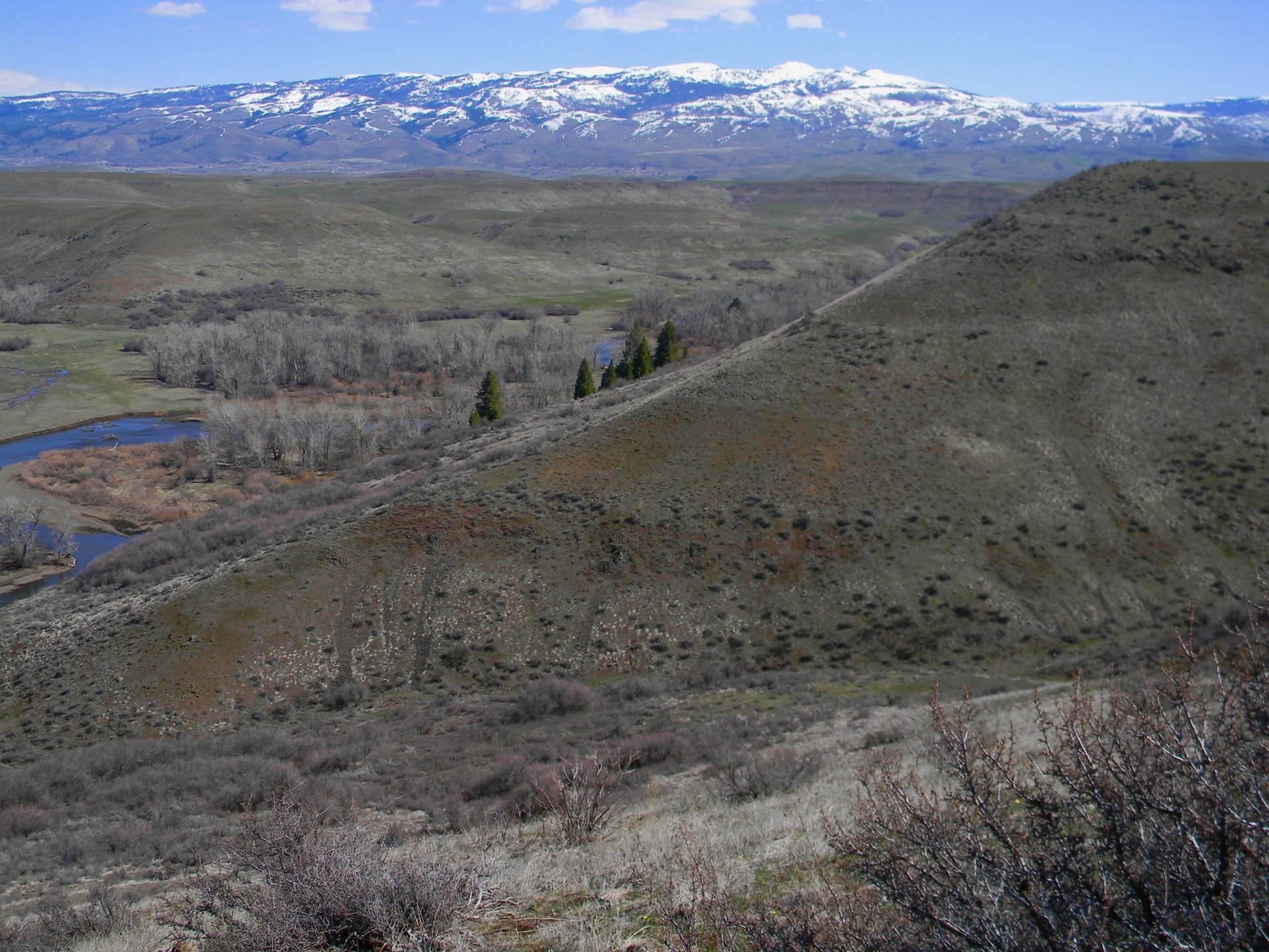
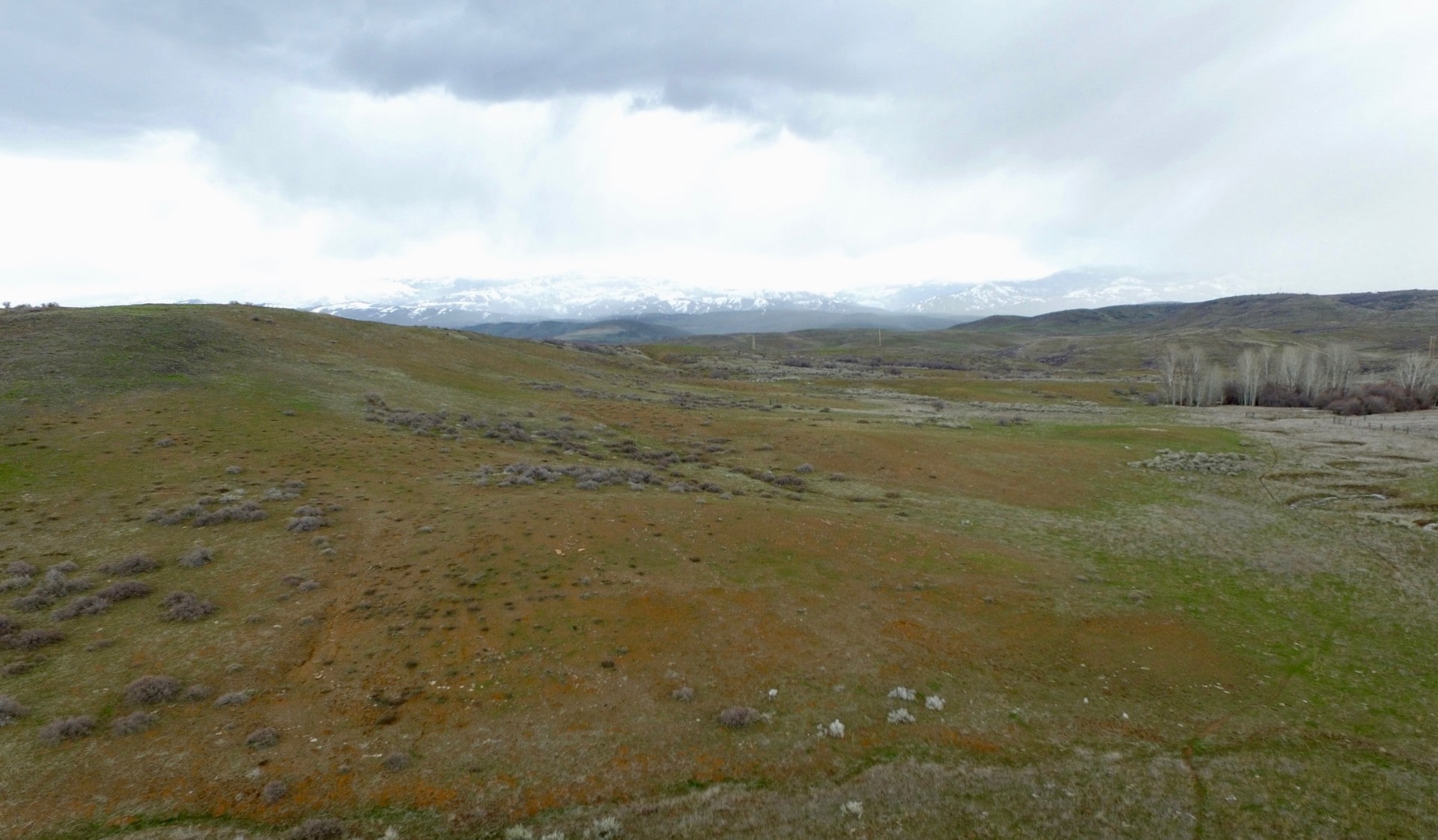
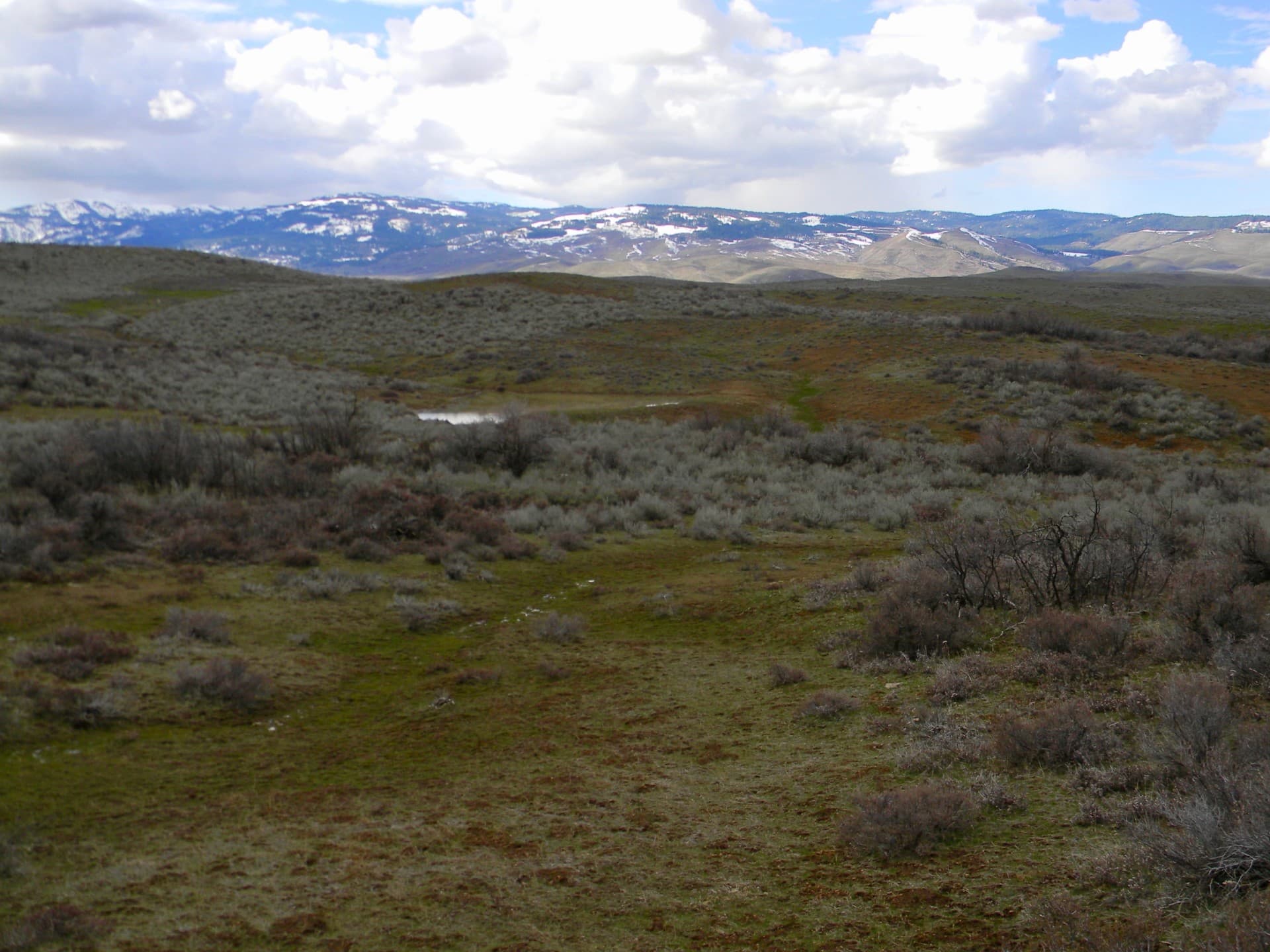
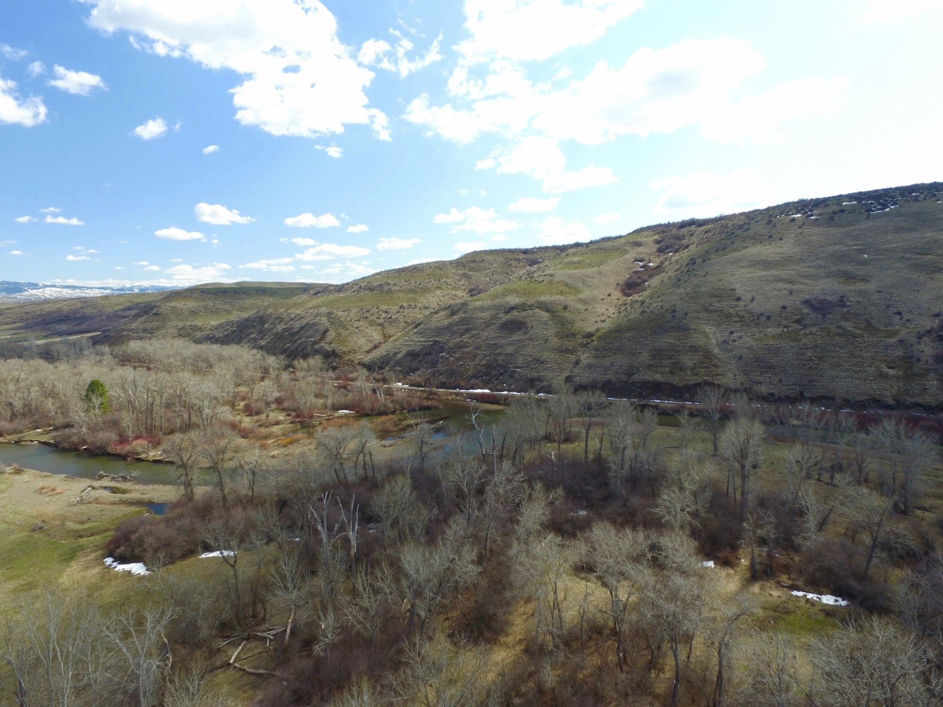
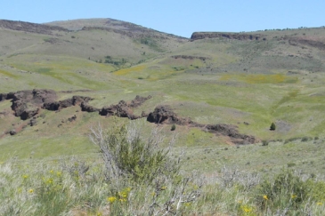
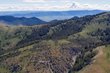
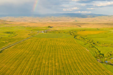
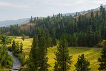
The Weiser River Ranch consists of 1,447± acres with the Weiser River flowing along the north border along with Idaho State land to the north and to the southeast. The ranch has end of the road privacy, two ponds with good springs and multiple drainages that flow into the Weiser River. The ranch is located right between Cambridge and Council, Idaho, overlooking the valley with the Cuddy Mountains to the north, the Hitts to the southwest and the West Mountains to the east. The Payette National Forest is 3 miles to the north. The habitat and terrain is ideal for mule deer and elk and once the pressure and the weather pushes the animals off the National Forest land, the ranch becomes a haven. The grasses and forbs are also ideal for cattle grazing late into the spring and through summer.
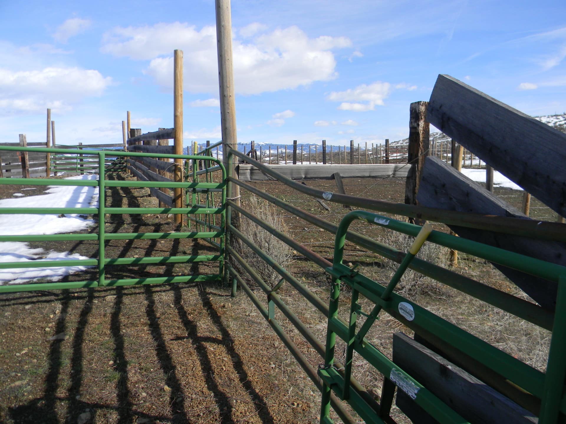
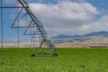
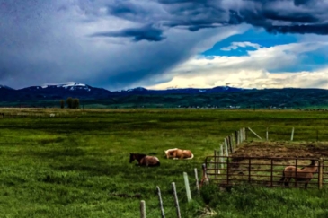
The ranch has traditionally been used for grazing during the summer months and into the fall: the averaging about 50 pairs for the last few years. At the entrance to the ranch there are corrals and a loading chute, making it easy to separate and load stock.
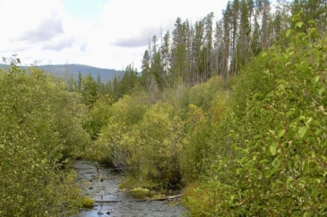
The vegetation on the ranch consists of lush grasses with many native plants along with some sage brush, bitter brush, aspen and cottonwood found in the drainages and old homestead. There are numerous drainages that run through the property and drain towards the Weiser River and two spring-fed ponds on the ranch that hold water typically year-round. The elevation of the ranch is 3,200 feet with the Weiser River at 2,700 feet.


